CMPDI will now monitor CIL mines by drones
New Delhi: CMPDI will use drones in CIL mines for specialized survey applications in coal mines of CIL such as generation of high-resolution images, 3D terrain mapping, volumetric measurement of excavation, etc
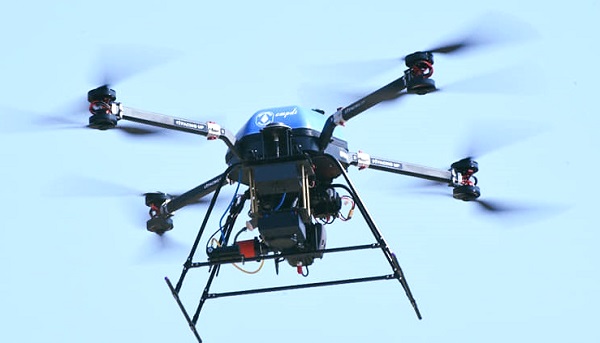
The Ministry of Civil Aviation, Govt. of India has accorded conditional exemption to Central Mine Planning & Design Institute (CMPDI) the use of drones for surveying coalfield areas of Coal India Ltd. for acquiring data for monitoring of various activities.
CMPDI will use drones in CIL mines for specialized survey applications in coal mines of CIL such as generation of high-resolution images, 3D terrain mapping, volumetric measurement of excavation, etc. and mapping of areas for precise delineation of zones where underground mine fires are present. There are several applications where these drones can be used such as inspection of installations and components in inaccessible and difficult-to-reach areas for safety of men and machinery, blasting zone monitoring, etc.
Read Also : GAIL organized 'Kanthasth 2.0' Hindi workshopNews Must Read
- REC Ltd received NOC to set up wholly owned subsidiary in Gift City, Gujarat
- Atanu Chakraborty Reappointed as part-time Chairman of HDFC Bank
- MRPL Q4 Results: Net profit slips 40%, Annual Gains Strong
- DMRC Celebrates 30th Foundation Day at Bharat Mandapam
- Sushil Sharma assumes additional charge of CMD, and Director (Personnel) of SJVN Limited
- Coal India Limited Board recommends final dividend, here to know
- Dr. Subhransu Sekhar Acharya assumes charge of NSIC CMD
- CIL reports mixed bag of results for Q4 of FY23-24
- NMDC's Promising Start to FY25, Targets 50 Million Tonnes
- RITES to take assessment for Vande Bharat Trains