
Coal India Inks MoU with NRSC, ISRO
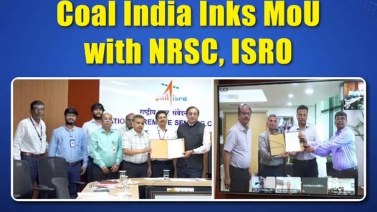
Hyderabad: In a major technological leap for India's energy sector, state-run miner Coal India Limited (CIL) has signed a strategic Memorandum of Understanding (MoU) with the National Remote Sensing Centre (NRSC), a critical unit of the Indian Space Research Organisation (ISRO).
The high-profile alliance aims to develop a cutting-edge, satellite-based geospatial dashboard designed to revolutionize the monitoring, visualization, and environmental auditing of mining operations across all Coal India leaseholds and subsidiaries.
The agreement was executed during a virtual ceremony connecting the NRSC team in Hyderabad with Coal India’s corporate headquarters in Kolkata, in the presence of Shri Achyut Ghatak, Director (Technical), CIL, and Dr. Prakash Chauhan, Director, NRSC.
Core Objectives of the Geospatial Platform
Using high-resolution mine block boundary data provided by the Central Mine Planning and Design Institute (CMPDI), the specialized platform will establish strict, automated oversight over critical operational and environmental areas:
-
Environmental Tracking: Real-time monitoring of mine closure protocols, active land reclamation, and the expansion of green cover/afforestation.
-
Regulatory Compliance: Digital surveillance to detect and prevent unauthorized mining outside designated legal leasehold boundaries.
-
Social Infrastructure: Mapping and verification of Rehabilitation & Resettlement (R&R) colonies and project-affected areas.
Advanced AI & Analytics Integration
The platform will go beyond standard satellite imagery by integrating advanced data science tools directly into ISRO’s Bhuvan Analytical Dashboard. By leveraging Artificial Intelligence (AI), Machine Learning (ML), Deep Learning, and predictive analytics, the solution will automate change detection and complex geospatial analytics across active coalfields.
Addressing the Jharia Coalfield Crisis
A critical highlight of this partnership is its specialized focus on the long-standing subsurface fires in Jharkhand’s Jharia Coalfield. By training predictive analytics models on multi-spectral satellite data, the system will not only detect active coal fires but will also simulate and predict underground fire propagation paths. This proactive modeling will give field teams the precise geospatial analytics needed to deploy targeted containment measures before fires spread to new coal seams or civil structures.
Source: Official Press Release & Corporate Announcement issued by Coal India Limited (CIL) (Dated: July 9, 2026).