CMPDI Conducts Geospatial Survey for Mine Closure Monitoring at Block B, Gorbi Area, NCL
Gorbi Area,Central Mine Planning & Design Institute Ltd (CMPDI), in collaboration with Northern Coalfields Limited (NCL), conducted a geospatial survey from 13th to 16th March, 2026, for monitoring mine closure activities at Block B, Gorbi Area, NCL.
Prior to the field survey, the CMPDI team organized planning and coordination meetings with NCL officials to finalize the survey strategy, ensuring a smooth and efficient execution of the activities.
Survey Details:
-
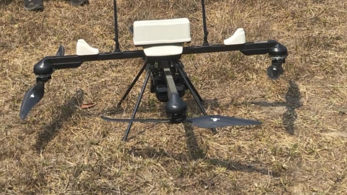
A drone survey integrated with DGPS technology was performed using a Q6V2 quadcopter at an altitude of 100 meters.
-
High-resolution imagery of the leasehold area was captured for precise monitoring.
-
The collected data will be processed at CMPDI Headquarters to produce drone-based orthophoto mosaics and contour plans, supporting effective mine closure planning and monitoring.
This initiative demonstrates CMPDI’s commitment to leveraging advanced geospatial technologies for environmental compliance and sustainable mining practices.