
CMPDI Honoured at Esri India User Conference 2026 for GIS Innovations
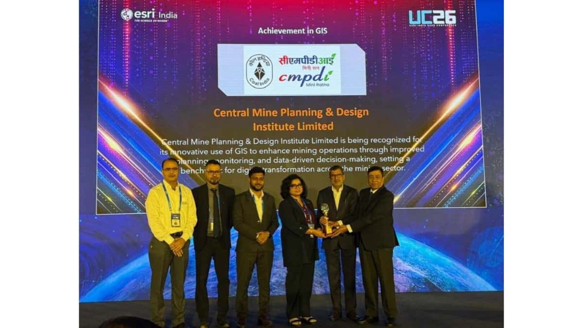
New Delhi: Central Mine Planning & Design Institute Limited (CMPDI) was honoured at the Esri India User Conference 2026 held in New Delhi for its innovative applications of GIS and geospatial technologies.
CMPDI leverages advanced GIS, Satellite Remote Sensing, and UAV/drone technologies to deliver robust spatial decision-support solutions. Key applications include precise mine planning and surveying, block boundary finalization, environmental and land-use monitoring, land reclamation studies, and settlement mapping.
Notable Achievements
The institute has successfully executed specialized drone-based sand replenishment studies for the state governments of Bihar, Uttar Pradesh, and Rajasthan. By analysing pre- and post-monsoon Digital Terrain Models (DTMs), CMPDI delivers highly accurate volumetric assessments of riverbed sand.
High-resolution satellite and drone data enable precise settlement mapping and terrain assessment, while multi-temporal imagery facilitates continuous monitoring of land reclamation in mining-affected areas.
The recognition reflects CMPDI’s growing capabilities in integrating modern geospatial technologies with its expertise in mining, geology, surveying and environmental management, while delivering a wide range of GIS-based solutions for mining and other developmental applications.
Source: Official update by Central Mine Planning and Design Institute Limited.